EuroBoundaryMap
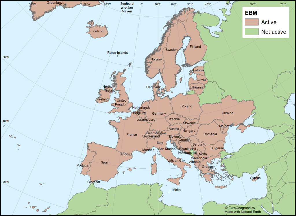
EuroBoundaryMap (EBM) is the European reference dataset of administrative units and statistical regions for the scale of 1 : 100,000. Dataset contains boundaries, names and national codes of administrative and statistical units provided by the European national mapping and cadastral agencies. Apart from the national administrative division, it also includes the data on statistical codes and units defined by the national institutions competent for statistics affairs, including the NUTS classification. This facilitates linking of the updated data on administrative units with statistical information.
EuroBoundaryMap is produced in the ArcGISGeodatabase format in spatial reference system WGS84. The German Federal Mapping and Geodesy Agency (Bundesamt für Kartographie und Geodäsie – BKG) is in charge of technical support to the members and managing the product development process.
Data on administrative units for the territory of the Republic of Serbia according to the official data from the Administrative Units Register prepared by the Republic Geodetic Authority have been included in the EuroBoundaryMap ver. 5.0 since 2011.
Terms and conditions for the EuroBoundaryMap dataset use are defined in accordance with the license agreement and policy of charging for data.