

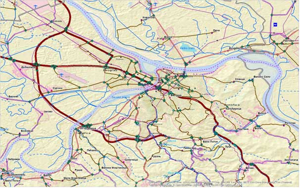
EuroRegionalMap
EuroRegionalMap (ERM) is the European topographic dataset at a scale of 1 : 250,000. Dataset covers nine themes: administrative boundaries, hydrography, transportation, settlements, geographical names, vegetation, relief, constructions of interest (schools, universities, hospitals, emergency services, power plants, waste dumps) and other topographic features such as industrial facilities, power supply lines, geomorphological elements, natural parks and reserves. The product is developed in the ArcGIS Geodatabase file format in spatial reference system ETRS89. The Republic Geodetic Authority is involved in the EuroRegionalMap production for the territory of the Republic of Serbia since 2012.
Basic content, spatial positions and attributes have been collected from:
- Digitized content of topographic maps scale 1 : 200,000 and 1 : 300,000
- Scanned and georeferenced topographic maps scale 1 : 25,000, 1 : 100,000 and 1 : 200,000
- SPOT5 mosaic of satellite imagery 2.5 m GSD for the period from 2005 to 2007 and 2011
- Orthophoto 10 cm, 20 cm and 40 cm GSD produced from the aerial photogrammetric acquisition over the period from 2007 to 2010
Having that the technical specification of product requires a set of mandatory attributes that are not under the competence of the Republic Geodetic Authority, the cooperation has been established with other governmental institutions for the purpose of data acquisition, namely: Ministry of Exterior, Republic Water Directorate, Ministry of Transport, PE "Putevi Srbije", PE "Železnice Srbije", Airport "Nikola Tesla", Ministry of Health, Ministry of Education, etc.
Along with the other European institutions, the Eurostat uses the EuroRegionalMap dataset for the purpose of spatial presentation of statistical data and relevant analyses over those data, pursuant to the multiannual contract entered into with the EuroGeographics.
Terms and conditions for the EuroRegionalMap dataset use are defined use are defined in accordance with the license agreement and policy of charging for data.
EuroRegionalMap


