

HYDROGRAPHY
Thematic unit Hydrography includes standing and flowing water and accompanying features. Small stagnant water, drafts, springs, fountains, wells, etc. are collected with the point. Watercourses are collected as lines and surfaces by the center line or boundary line of the water (shoreline), depending on the width. All watercourse lines are collected in such a way as to achieve the continuity of the hydrographic network and with orientation in the direction of the flow. Data sources used in the collection are: stereo model, field recognition and verification and existing cadastral and other maps. Data on hydrography are collected according to the data model defined in accordance with the technical specification for the implementation of the INSPIRE Directive.
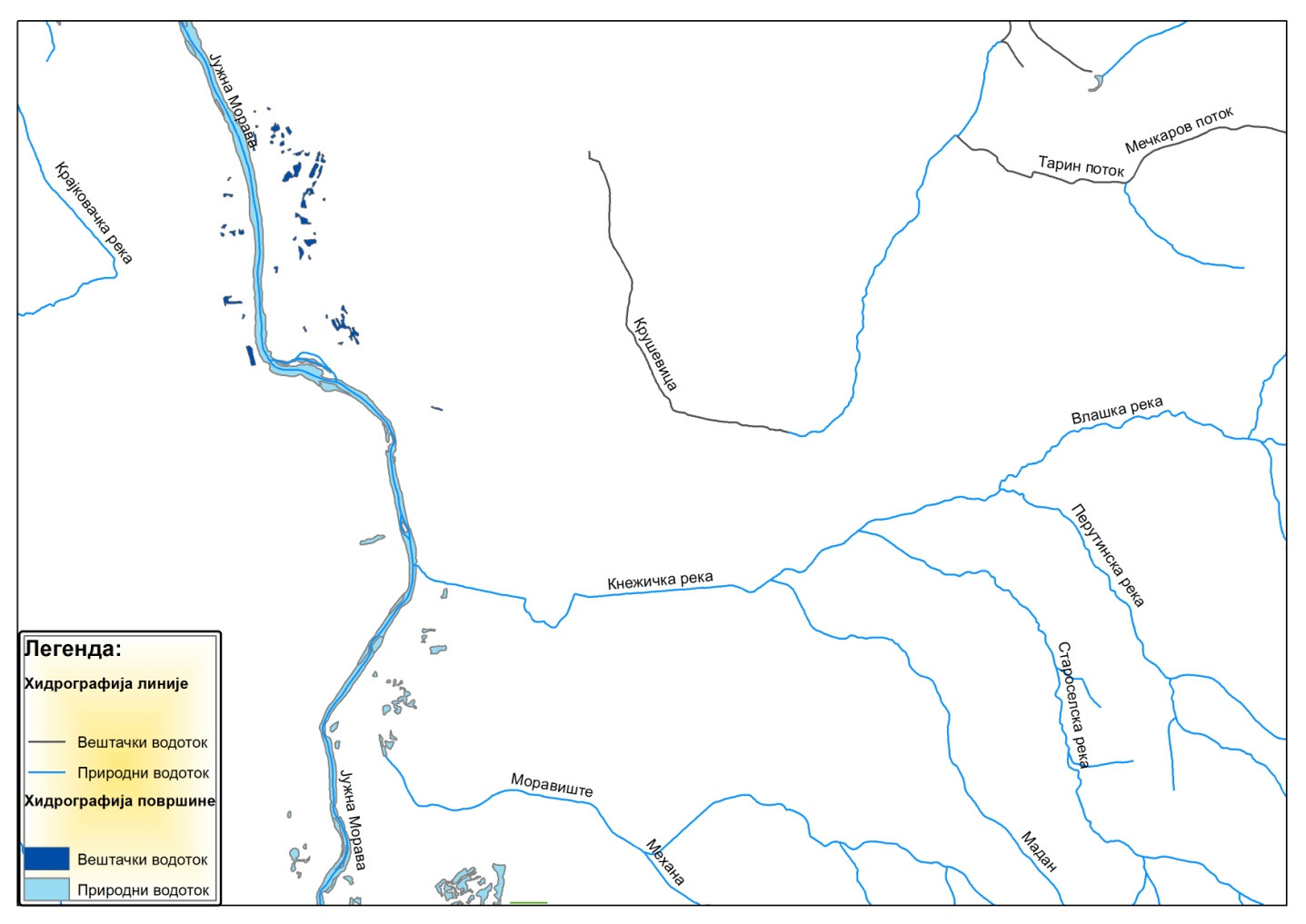
Presentation of thematic unit Hydrography


