

RELIEF
The thematic unit Relief includes terrain fault lines (natural and artificial), elevations and characteristic relief points (peaks, pits, caves, passes and landmark rocks). Elevations are collected at characteristic relief points for the most accurate representation of the terrain in terms of height. Also, for this purpose, certain elements of other topics of BTM are used, such as rivers, lakes, roads, sports fields, etc. Mountain and hill peaks, passes, saddles, pits, caves, etc. are collected by the point. Sections are collected by collecting the upper edge of the section. Data sources used in the collection are: stereo model, field recognition and verification and existing cadastral and other maps. Relief data is collected according to the data model defined in accordance with the technical specification for the implementation of the INSPIRE Directive.
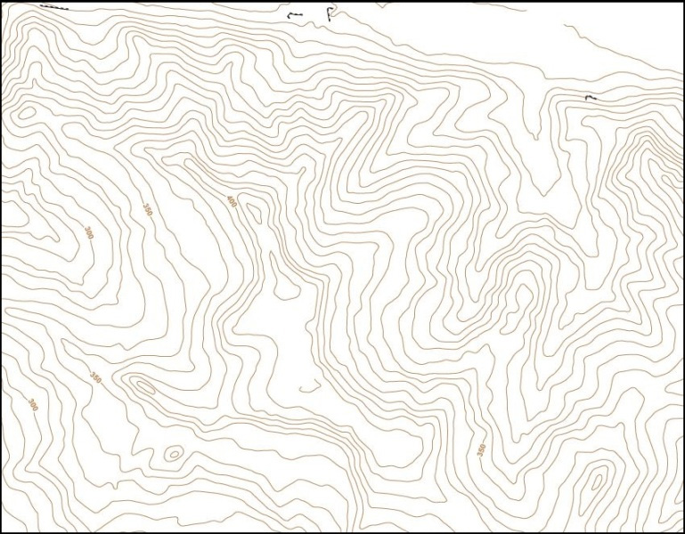
Presentation of thematic unit Relief


