

LAND COVER
Thematic unit Land cover includes soil types, vegetation, cultivated land, tree rows and distinctive trees. Mapping also collects the boundary lines of the sandy, rocky, marshy areas, areas under deciduous, evergreen, mixed or sparse forest, areas covered by bushes, bushes or reeds, parks, orchards, vineyards, etc. Single trees on open land, dominant trees and those of historical or biological importance as well as small forests are collected as points. Hedges, rows of trees, etc. are collected along the central line. Data sources used in the collection are: digital orthophoto, stereomodel, field recognition and verification and existing cadastral and other maps. Land cover data is collected according to the data model defined in accordance with the technical specification for the implementation of the INSPIRE Directive.
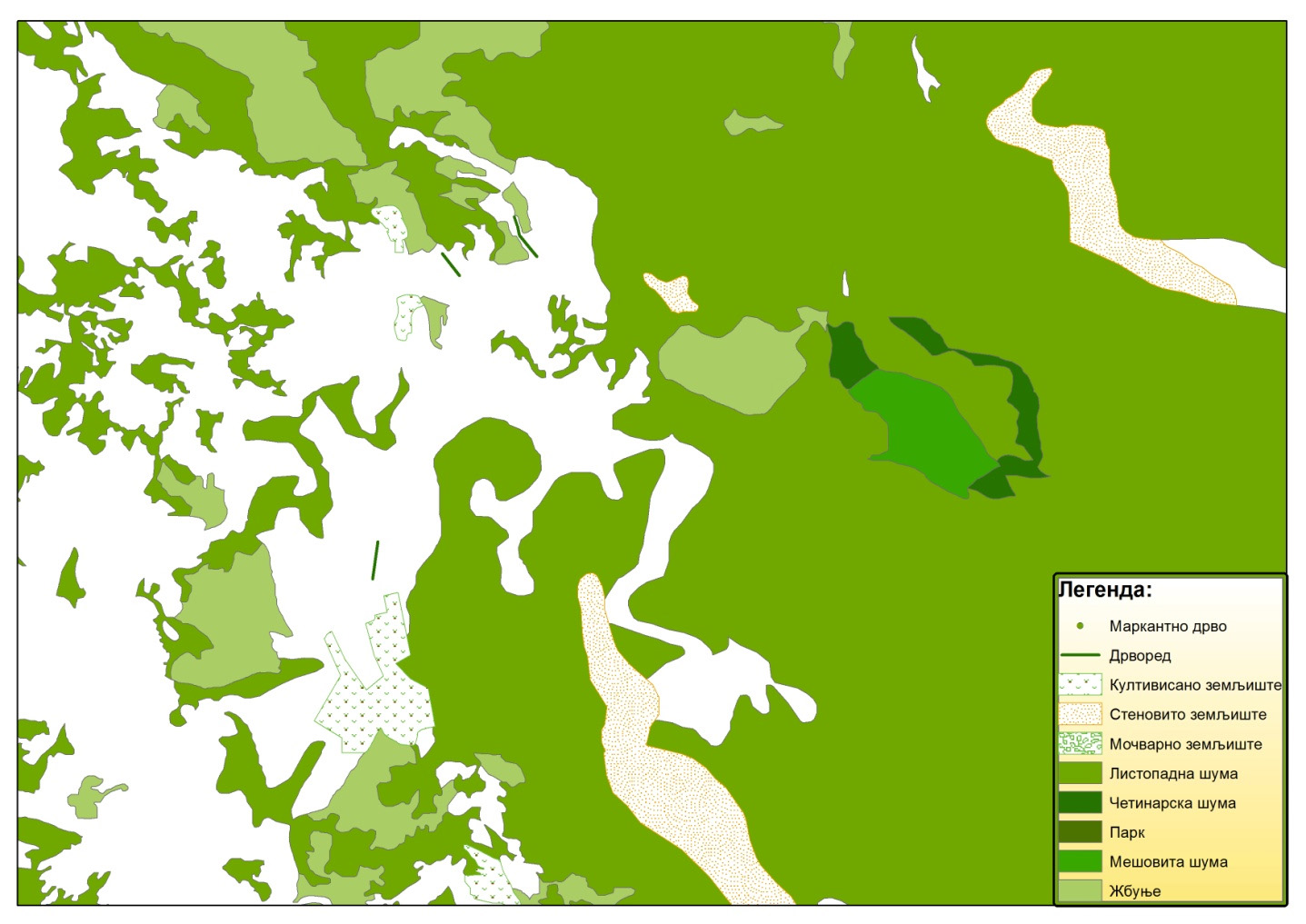
Presentation of thematic unit Land cover


